Final PNG picture and map file
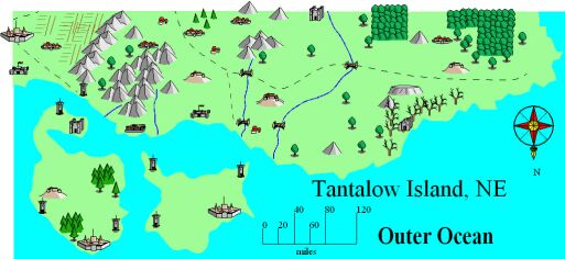
I placed some of the symbols next to the edge of the map to show locations and give a three-dimensional aspect to it. Or you could draw a partial town, city, castle, etc. for the map edges if you need to mark a location.
I could have zoomed in, and got not only a smaller part of the large map, but a smaller scale as well as showing more local detail.
The method is essentially the same, but the symbols would have to be changed in scale.

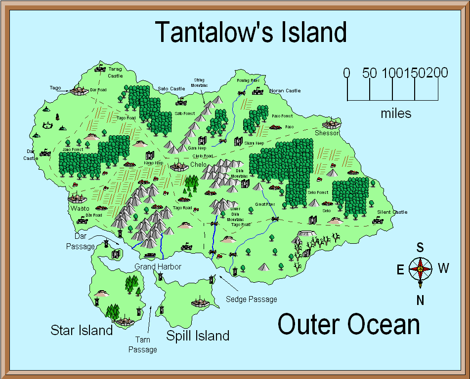
Original picture and map

Thats all of this tutorial. I hope it helped.